
KANANASKIS COUNTRY – Lightning sparked several wildfires in Kootenay National Park and one in Kananaskis Country on Friday evening (Aug. 2) as thunderstorms rolled through parts of the region.
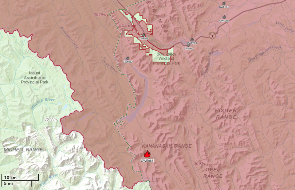
Called the Burstall Lake wildfire, it was estimated to be 1.2 hectares in size and is listed as out-of-control. The Burstall Pass day-use and surrounding trails are closed while firefighters work to put out the fire, including dropping retardant from airtankers.
"Resources on this wildfire include 20 wildland firefighters and 1 helicopter for both crew movement and bucketing on the wildfire," said Anastasia Drummond, a fire information officer with Calgary Forest Area in a wildfire update at 11:20 a.m. Saturday.
"Airtankers are in the area and available if requested/required. Heavy equipment will be staged locally should they be required. There is no immediate threat to any infrastructure or communities."
When the fire was first detected Friday evening, Drummond said crews responded and began bucketing operations.
"The fire did not grow substantially in size overnight," Drummond wrote.
The Smith-Dorrien Highway remains open, however some local trail closures are in effect.
In addition, firefighters have been dealing with five lightning-sparked fires in Kootenay National Park.
Park Canada said these fires are being dealt with in order of priority.
Of the five lightning-sparked fires in Kootenay National Park Friday (Aug. 2) as the thunderstorm rolled through, the one fire near Dolly Varden day-use area is now under control.
However, an evacuation alert has been issued for McLeod Meadows campground because of other fires in the area.
One of the five lightning-caused wildfires is burning on the east side of Highway 93S approximately 1.7 km east of the highway and McLeod Meadows campground.
“As a pre-emptive measure, Parks Canada has put in an evacuation alert for McLeod Campground,” states Parks Canada.
“An area closure has also been put in place for Dog Lake trail.”
Another fire, which Parks Canada initially said was also near Dolly Varden day-use area is actually closer to Crooks Meadow group campground than Dolly Varden.
“This fire start is on the west side of the highway. It is approximately 880 m from Crooks Meadow group campground, which has no campers at this time,” stated Parks Canada in an update at 11:35 a.m. Saturday.
There is yet another fire in this immediate area.
The last fire is on the west side of Highway 93S approximately 2.5 km west of the highway and McLeod Meadows campground.
Parks Canada officials say Parks Canada fire crews, with support from helicopters bucketing water, will continue to respond to the fires in order of priority, noting the fires and helicopter bucketing will be highly visible from Highway 93S.
The Outlook will update the story as more information becomes available.


